Is a sweeping ocean view the biggest driver of price in Watch Hill, or is it the elevation under your foundation? If you are buying or selling on the water here, the details can shift value by millions. You want clarity on what the market rewards, what risk it discounts, and how to prepare so your sale or purchase is smooth. In this guide, you will learn the core value drivers for Watch Hill waterfront homes and the exact steps to position your property or search with confidence. Let’s dive in.
Why Watch Hill commands premiums
Watch Hill is small, historic, and scarce. The village’s fabric and institutions create a lasting premium for well-sited waterfront and walk-to-water homes. The Fire District’s role and community stewardship reflect a long tradition of quality and care, which helps sustain values over time. You feel that when you move through the village green, the harbor, and the peninsula edges. For context on village governance and amenities, see the Watch Hill Fire District.
Lifestyle access is a major factor. High-caliber amenities like the Ocean House and walkable shops and dining add real convenience and a resort tone to everyday life. Nearby, the Napatree area and conservation lands provide natural beauty and protected open space that many buyers seek. Learn how this setting is managed and experienced through the Watch Hill Conservancy’s Napatree resources.
Bottom line: Scarcity, resort-level amenities, and a cohesive village setting lift values, especially for properties with strong water adjacency and convenient access to the core.
The biggest risk driver: water, elevation, and insurance
Flood mapping and elevation sit at the center of value. Westerly identifies Special Flood Hazard Areas on FEMA Flood Insurance Rate Maps and enforces a Flood Hazard Overlay District. These maps and rules shape permitting and lending expectations. You can review the local framework in the Town of Westerly code.
Rhode Island’s coastal program also uses advanced tools that look beyond FEMA. The state’s STORMTOOLS and related coastal design guidance incorporate sea-level rise and wave impacts, and they are used in coastal permitting. In practice, design base flood elevations in these tools can exceed FEMA. A helpful overview of this approach is detailed in peer-reviewed work on CRMC’s methods in Rhode Island’s Beach SAMP program. See the summary in the MDPI analysis of STORMTOOLS and design guidance.
Operationally, nuisance tidal flooding is already happening in parts of the village. Local reporting has documented high-tide flooding affecting Bay Street and access points near the core. That visibility shapes buyer perception and underwriting. For a local perspective, review ecori’s reporting on nuisance flooding in Watch Hill.
Insurance now prices risk with more precision. FEMA’s Risk Rating 2.0 changed how National Flood Insurance Program premiums are calculated. Rates are now property specific, reflecting distance to water, elevation, and replacement cost. Waterfront homes with high rebuild costs can carry higher premiums under the new system, which buyers price into total cost of ownership. You can read the federal brief on the change at Congress.gov.
What this means for you: An Elevation Certificate, flood-zone clarity, and any private quotes can materially influence price and time to close.
Frontage types and how they price
Not all shoreline is equal. In Watch Hill, the type of frontage can matter as much as the length of shoreline.
- Open ocean beach frontage. Delivers the strongest view and direct beach access. Carries the highest exposure to erosion and storm surge, which can raise insurance and long-term maintenance costs.
- Harbor or cove frontage. Offers boat-friendly access and more shelter from wave energy. Still subject to tidal and surge flooding. For context on the local harbor setting and adjacent nature, explore Napatree and the cove area.
- Bulkhead or seawall-protected lots. Can preserve yard and access where waves would otherwise encroach. Permit status, age, and condition matter because remedial work can be costly and requires coastal approvals. Rhode Island CRMC rules govern most shoreline structures and work. See the CRMC regulations.
Appraisers adjust for frontage type, usable beach, and cost to cure shoreline issues. Two properties with the same linear feet of water can price very differently based on orientation and exposure.
Views, orientation, and protected vistas
View quality and orientation are major price drivers. East or west exposure over open water, long sightlines, and minimal view obstructions all add value. In a compact village with limited undeveloped land, protected vistas can create lasting scarcity.
In Watch Hill, “view rights” typically come from private agreements rather than automatic public protections. Recorded negative easements, scenic or conservation easements, or design controls can help preserve a view or open setting. If your parcel abuts conserved land, that can signal stability in what you will see over time. The village’s landmarks and setting support this view-driven value, which you can appreciate through the area’s historic context at the Watch Hill Lighthouse Keepers Association.
Historic character and village fabric
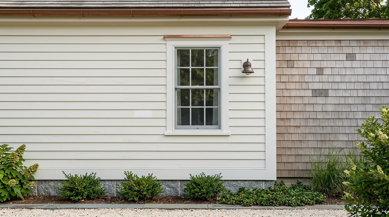
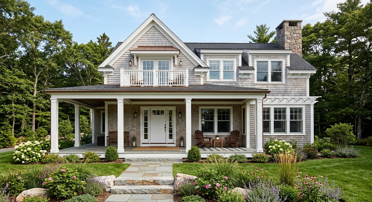
Buyers often seek authentic shingle-style architecture and cottages that reflect Watch Hill’s resort heritage. Properties within historically recognized areas have strong appeal, but exterior changes, replacements, or demolitions can face added scrutiny. That balance of charm and control is part of what keeps the village distinct and valuable over time. Learn more about the area’s heritage through the Lighthouse Keepers’ historical overview.
Proximity and walkability: perks and tradeoffs
Walk-to-village convenience is prized in Watch Hill. Being near the Ocean House, shops, and bayfront can support pricing, particularly for buyers who value quick access to dining or events. Explore the Ocean House experience and amenities.
At the same time, narrow roads, seasonal traffic, and limited public parking can reduce the practical value of proximity for some owners. Understanding local rules and access patterns helps set accurate expectations. For community context and district information, consult the Watch Hill Fire District.
Legal boundaries, permitting, and disclosure
Most shoreline work in Rhode Island is under CRMC jurisdiction. Docks, seawalls, significant additions within coastal setbacks, and major stabilization projects generally require CRMC review that now references STORMTOOLS and design-elevation guidance. A documented, transferable permit history for any shoreline structure is a meaningful asset. Review the governing framework in the CRMC regulations.
Public trust boundaries and access are also in focus statewide. Rhode Island historically placed the public trust boundary at mean high water. In 2023 and 2024 there were legislative changes and a Superior Court decision that addressed coastal public rights. The legal picture is evolving, and language in deeds and surveys that reference tidal boundaries should be reviewed with counsel. For a recent decision reference, see the 2024 Superior Court decision summary.
Practical tip: Clear title specifics, survey language, and any access easements should be disclosed and explained early in a transaction to reduce surprises.
What buyers and sellers should prepare
For sellers: package the proof
- Current boundary survey with lot lines and the interpreted mean high-water or mean high-tide line for waterfront parcels.
- Elevation Certificate and first-floor elevation relative to base flood elevation. See the Flood Hazard Overlay references in the Town of Westerly code.
- CRMC permit records and local building-permit history for docks, seawalls, additions, decks, and major mechanical or utility work. Review the CRMC regulations.
- Recent engineering or structural reports for shoreline protection, with photos and contractor scopes.
- Insurance declarations showing current NFIP coverage and any private quotes. Risk Rating 2.0 has property-specific impacts, outlined at Congress.gov.
- A simple one-page summary of access and use: beach access type, any neighborhood parking permits, mooring or dock rights, and whether they transfer. For community context, see the Watch Hill Fire District.
For buyers: underwrite before you bid
- Map the property on FEMA FIRMs and run CRMC STORMTOOLS or design-elevation layers. Compare FEMA base flood elevations to state design BFEs. The local code is a good starting point for FEMA references at ecode360 and state tools are summarized in this analysis of STORMTOOLS.
- Request the Elevation Certificate, CRMC and building permit history, and all insurance quotes. Ask for any recent engineering work on seawalls or dunes.
- Model flood insurance over three to five years under Risk Rating 2.0 and ask about mitigation credits for improvements that reduce risk. See the federal overview at Congress.gov.
- If the site has shoreline armoring or a complex setting, consider a coastal engineer to evaluate condition and likely maintenance windows.
Market context to keep in mind
Watch Hill is a small, high-value market where individual sales can set tone for the year. In recent seasons, oceanfront and harborfront transactions on Manatuck Avenue and within the village core have closed at headline prices, reinforcing how scarcity and best-in-class siting are rewarded. While the sample size is small, the pattern is consistent with what buyers tell us they want: protected views, privacy, and convenient access to the village.
How to position your property or search
- Lead with elevation and permits. Put the Elevation Certificate, CRMC history, and any shoreline engineering front and center. This reduces uncertainty that can depress offers.
- Frame the frontage and view. Name the frontage type and the orientation. If nearby conservation or easements protect the setting, call that out with documentation.
- Be direct about access. Note walk times to the village, parking or permit details, and any private or deeded beach or mooring rights, with transfer terms.
- Price lifestyle and carrying cost together. Buyers weigh amenity access against maintenance and insurance. Help them see the full picture so they can act decisively.
If you are planning a sale or want to refine your search, a private, local conversation can save you time and protect value. Reach out to Geb Masterson for a quiet, data-backed strategy that fits your goals.
FAQs
What drives Watch Hill waterfront value the most?
- A blend of protected views, elevation relative to flood maps, frontage type, and proximity to village amenities drives value, supported by local codes and state coastal guidance.
How does flood insurance under Risk Rating 2.0 affect pricing?
- Premiums are now property specific based on factors like elevation and rebuild cost, which buyers include in their carrying cost models. See the federal overview at Congress.gov for context.
Do seawalls increase or decrease a home’s value?
- A well-permitted, well-maintained seawall can protect use and support value, while aging or unpermitted structures can be a negative due to costly repairs and permit requirements under CRMC rules.
What should I check before renovating near the water in Watch Hill?
- Confirm FEMA and state design elevations, review CRMC setback and permit needs, and gather your property’s Elevation Certificate and prior permits. Engage a coastal engineer for armored or low-lying sites.
Do public access rules change what I own on a waterfront lot?
- Rhode Island’s public trust boundary and access rights are an evolving legal area. Deeds with tidal boundaries should be reviewed with counsel, and known easements or claims should be disclosed early.